Prompt & Done · SLEUTH pack
Geo Sleuth: give your agent a photo, get a camera position.
Free (MIT) agent skill by Oldcircle. Our test: one Ribblehead Viaduct photo, no metadata, 297 s, pin 104 m from the photographer's recorded spot (one run, not a promise). Use it on public scenes, never on other people's private photos.
1. Install
npx skills add Oldcircle/geo-sleuthPick your agent when asked (Claude Code, Codex, Cursor...). Needs Python 3.10+, uv, curl and Chrome. Repo: github.com/Oldcircle/geo-sleuth.
2. Check the setup
Ask your agent to run doctor.py from the installed skill's scripts/ folder and fix any failed check. The first match run downloads about 2.4 GB of models.
3. Say one sentence
find where this photo was takenAttach the photo. The agent returns coordinates, a heading, an error radius, a confidence and an evidence image. Every claim points at a file.
Our test
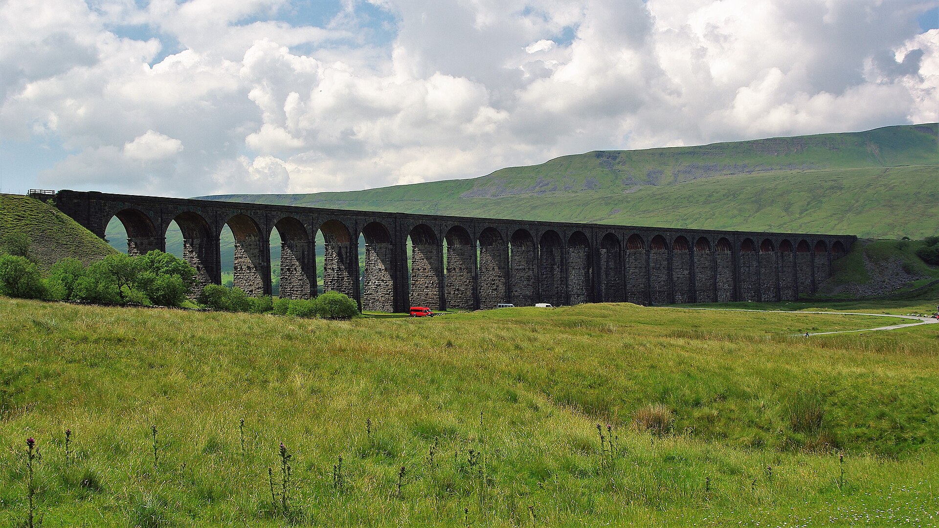
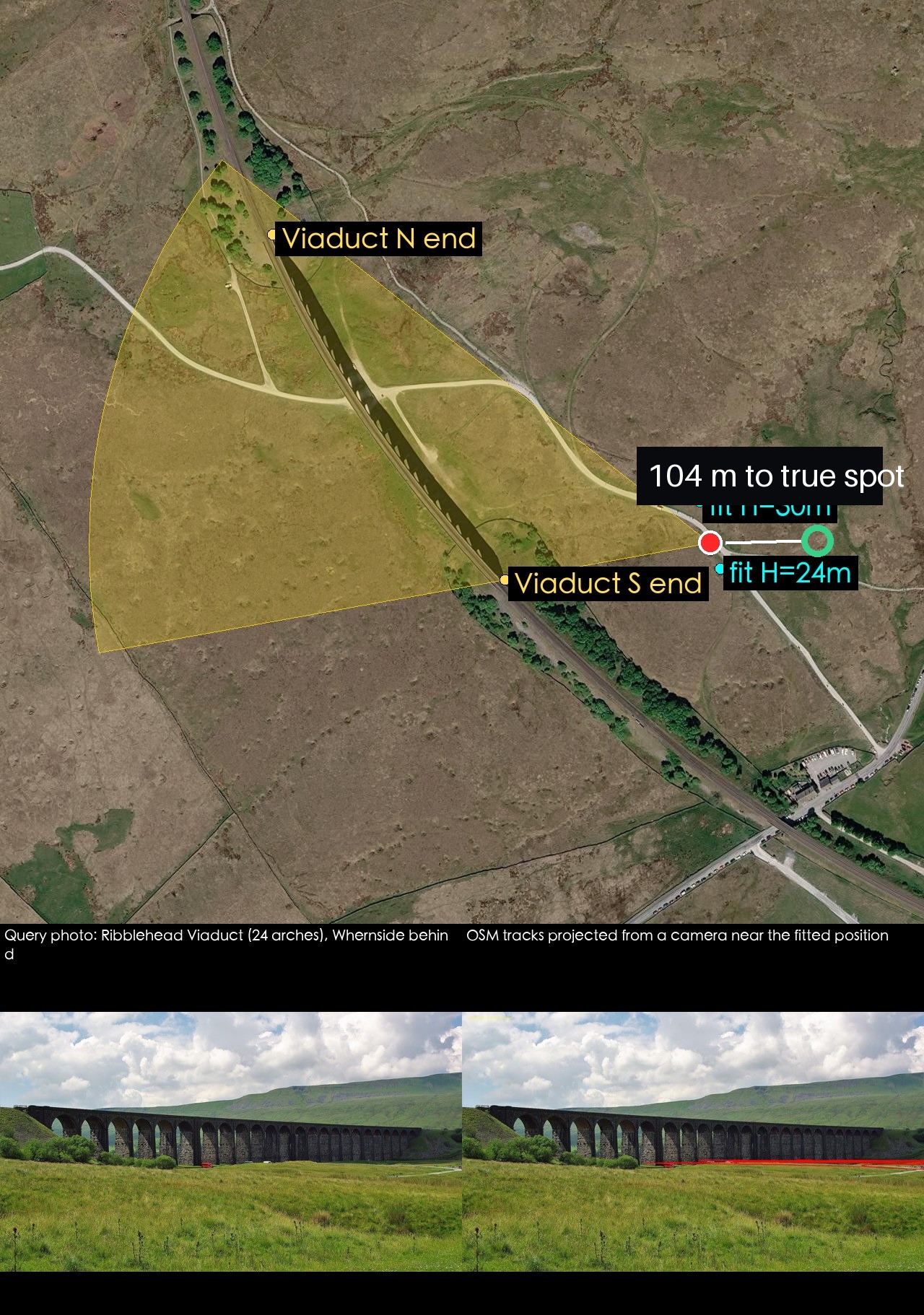
Photo: Kevin Waterhouse, CC BY-SA 2.0, Geograph via Wikimedia Commons. Answer 54.20914, -2.36524, heading 284, radius 120 m, medium confidence. Recorded position 54.20915904, -2.36364514. Error 103.7 m. Satellite tiles are fetched by the tool.

A second run (Tyne Bridge, about 13 m) used reverse image search on third-party sites to name the landmark.
Use it responsibly
Good for research, journalism practice and checking your own photos. Do not use it to locate private homes or people.